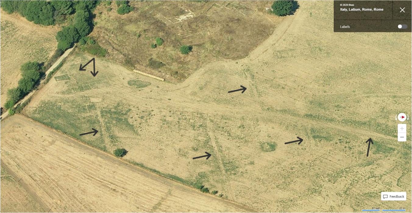
Did you know that you can spot buried archaeology from aerial imagery? You just need the right conditions for cropmarks to appear and the help of citizen scientists!

Check out the pilot study published in Remote Sensing (Volume 12, Issue 17, September 2020).
Huge thank you to co-authors Christopher Stewart and Daniel Lombraña González. Massive shout-out to the citizen scientists who participated. Big-up to the PhiLab at European Space Agency (ESA) / ESRIN for providing the enabling environment required to come up and follow through with super cool research projects.

A version of this post was first published on LinkedIn. The Microsoft products featured in this post are used with permission from Microsoft Corporation.
